The Microsoft Flight Simulator is an amazing achievement, simulating the entire planet in stunning detail and modeling hundreds of cities around the world. There are a few glitches in the matrix: for example, Australia's strange obelisks, Brazil's reality-warping fissures, and Japan's towering stone spikes.
Also, cities, buildings, and landmarks in Microsoft Flight Simulator sometimes do not look very beautiful when flying over them. For example, Buckingham Palace looks like an ordinary office building. Stonehenge looks like someone painted it flat on the grass. Since the launch of the sim, modders have naturally been busy adding improved landscapes to the sim.
And more and more modders are replacing data from Microsoft Flight Simulator, which uses information from Bing Maps and Microsoft's Azure AI, with data from Google Maps.
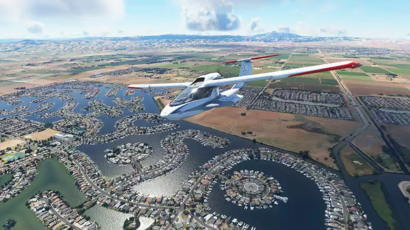
The post above is from a month ago, where Reddit user High_Frame_Rates demonstrated the difference between the MFS version of the massive Melbourne Cricket Ground and an imported version using data from Google Maps. You may not notice it when cruising 5 miles above the ground, but it will definitely catch your eye when flying just a few thousand feet above the ground.
Since then, more and more landmarks, buildings, stadiums, and even large parts of entire cities have been reworked using Google Maps data instead of Bing. Because Microsoft and Google are competitors, many of the user-created scenery replacements are shared and catalogued in the FS2020Creation subreddit. There are concerns that Microsoft is probably not comfortable with Google's data being used to replace Bing, which is owned by Microsoft, and that it may violate Google's terms of service.
However, it is hard not to be impressed by the wonderful, several alternative landscapes.
But more detail comes with additional performance costs. The Perth scenery replacement above (76 MB download) had to be replaced by a lower poly version by High_Frame_Rates due to performance issues experienced by other players.
This process, called "Gmap slurping," also does not seem to be an easy process for those who want to quickly import their favorite cities and landmarks from Google into Microsoft Flight Simulator and fly over them to take pictures That's right, according to the instructions for High_Frame_Rates, it's a mix of different programs, including Blender, Meshlab, Renderdoc, and even an older version of Chrome Brower. Amazing.
This may be a bit too complicated for most players (it certainly is for me), but at least you can browse the custom scenery maps and see what modders and members of the FS2020 Creation subreddit have added and improved. You can easily see them. Not everything listed there is made with Google Maps data, but there will be more and more in the future, as some of these scenery replacements look nice.
Thanks, TechRadar.
Comments